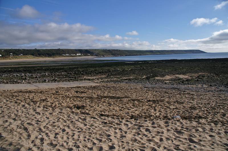
West from Port-Eynon.
Start. Port-Eynon.
Route. Port-Eynon - Salt House - Culver Hole - Foxhole Slade - Paviland Manor - Hills Farm (ruin) - Port-Eynon.
Notes. A walk along the coast between Port-Eynon and Rhossili defiantly the most spectacular coastal walk on Gower, cliffs, caves, blow holes, lots of ups and downs, all passed en route accompanied by the thunder of crashing waves as the sea fights a relentless battle in it's attempt to erode even more of this spectacular coast.
We left the car park in Port-Eynon on a sandy way marked path heading to Port-Eynon Point, on reaching the remains of the Salthouse we ascended through long abandoned limestone quarries to reach the cliff path at a memorial erected by The Gower Society, fifty yards along the cliff path a path branches off left descending to Calver Hole, after exploring the remains of this strangest of buildings we re-traced our steps up the cliff. Continuing our journey we descended to Overton Mere a large inlet, then onwards passing Overton Cliff, Longhole Cave, Blackhole Gut, Foxhole Slade en route to Paviland Cave which we were unable to enter as the tide was too high.
Here we turned our backs on the sea as we wandered inland through freshly cropped pastures passing between the barns of Paviland Manor to enter more crop fields, mature hedge rows guided us to the ruins of Hill Farm where we set our sights on the sea once more as we made the long easy descent back to Port-Eynon.

Low tide across Port-Eynon Bay with Oxwich point on the far horizon.
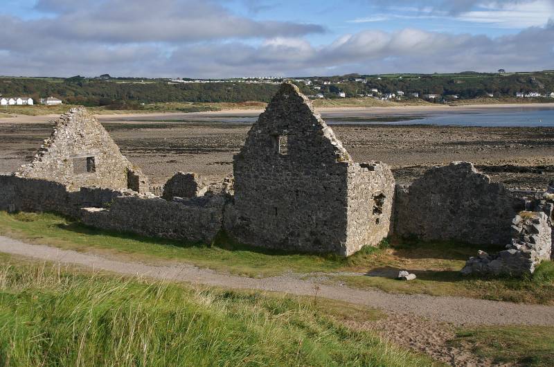
The Salt House, over 35,000 gallons of salt water was allowed to fill the main tank at high tide, the water was pumped to shallow iron tanks which were heated to allow the water to evaporate, at this point in the process ox-blood or eggs would have been added to allow any impurities to congeal on the surface, this could then be skimmed off, as the water evaporated salt crystals formed, with the water gone the salt would be scraped off the bottom of the tanks.
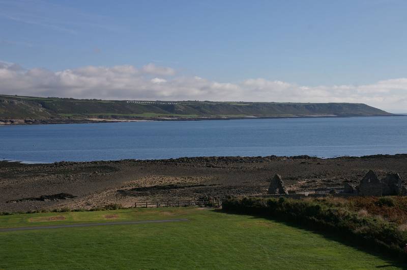
Looking to Oxwich Point over Port-Eynon Bay.
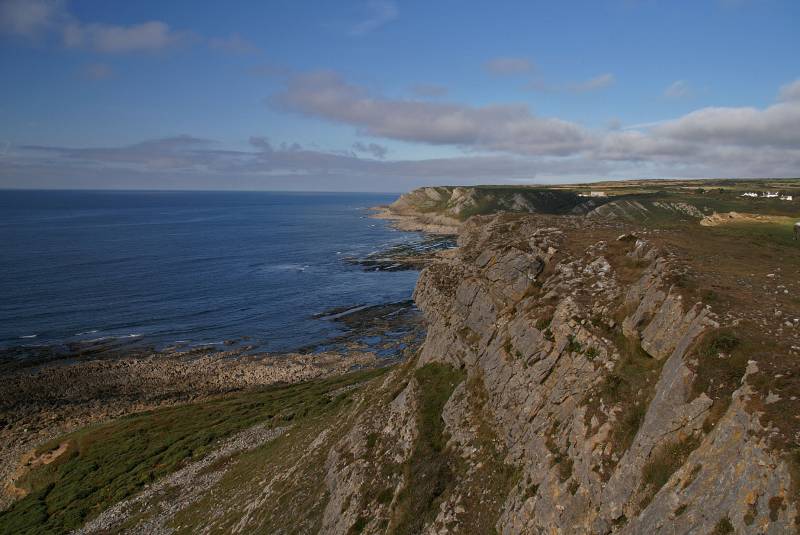
The cliffs at Port-Eynon Point.
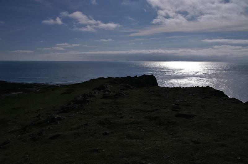
The view from Port-Eynon Point, somewhere over the horizon the Devornshire coast.
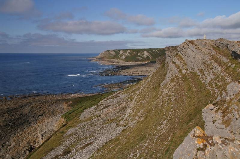
Overton Cliff as seen from Port-Eynon Point.
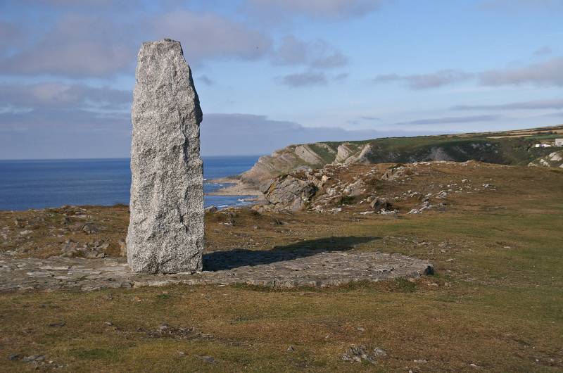
The Memorial on Port-Eynon Point.
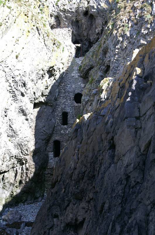
Calver Hole, contains a number of slippery floors and stairways, what it was used for is a bit sketchy, it was probably a Dovecote, in Old English calver means "coutre" meaning Pigeon or Dove, much more romantic to think it was used for smuggling, who knows it may well have been.
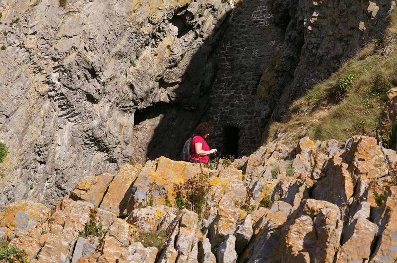
Sue takes a closer look.
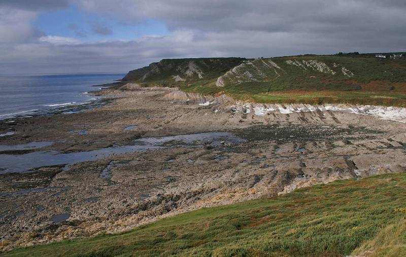
Descending to Overton Mere.
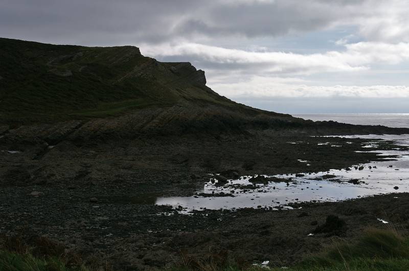
Taking a look back over Overton Mere, Calver Hole is to the far side of the obvious rock jutting out.
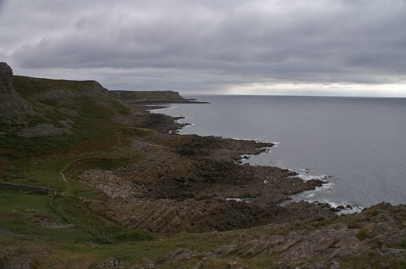
The stunning view back along the coast seen from near Common Cliff..
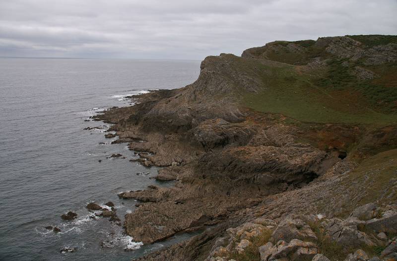
Foxhole Slade as seen from Common Cliff.
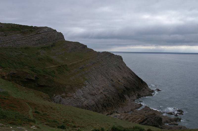
Views back along a wonderful coastal path.
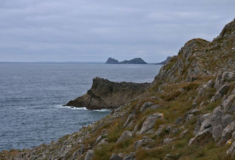
To the west Worms Head reaches out like a giant Sea Serpent.
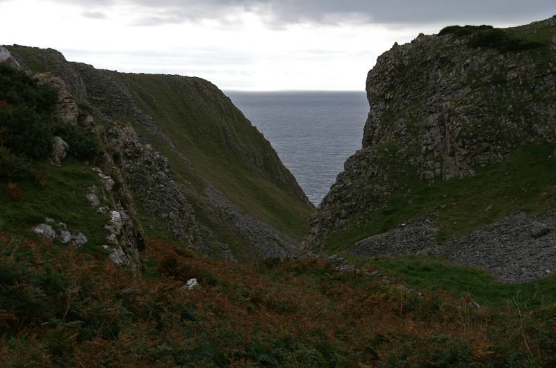
Views down the gully leading to Paviland Cave, only accesible at extreme low water.
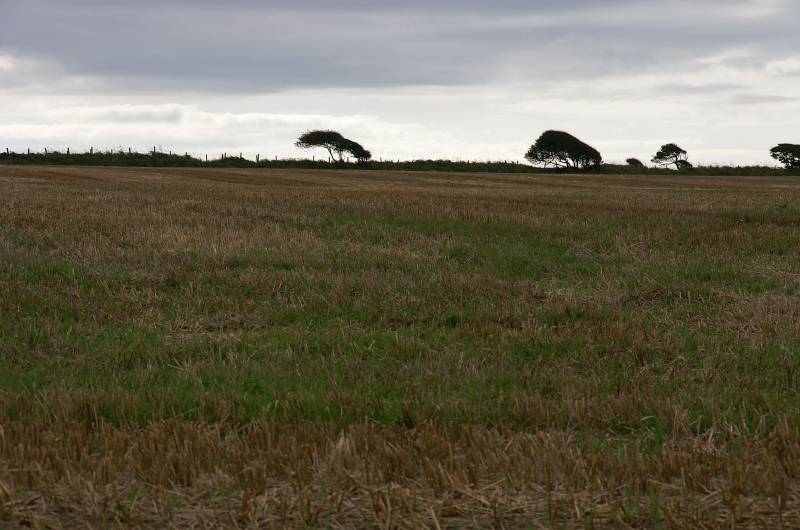
Our route back was through pastures in various stages of cultivation.
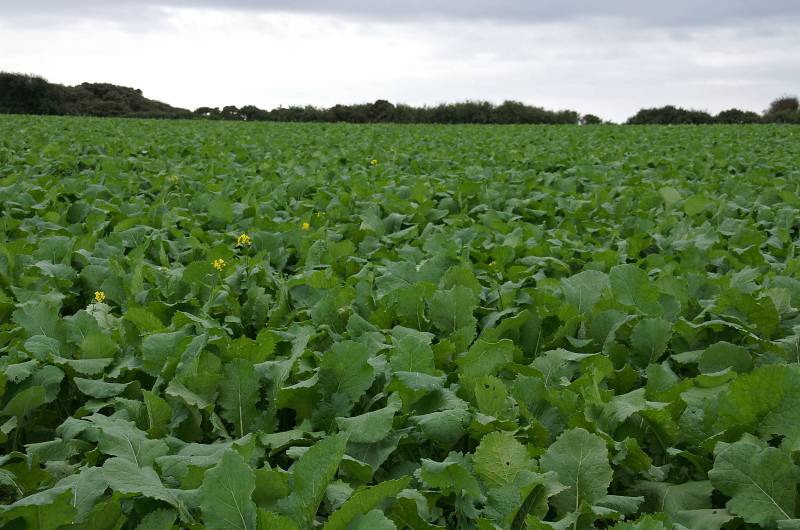
I'm not into vegetables, but I think this is probably a field of Sprouts.
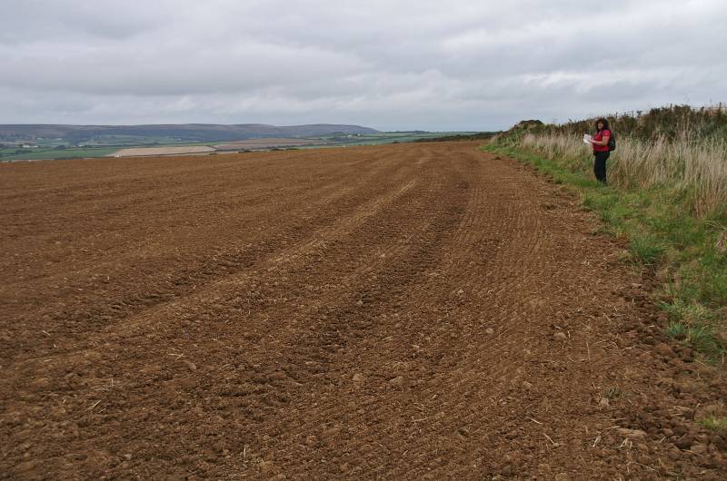
The path's been ploughed up, Sue insists we're on the right side of the hedge row, she's got the guide book.
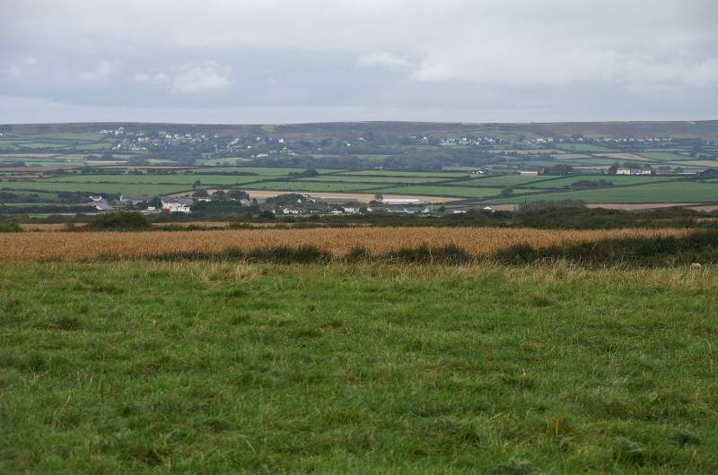
This is the highest point on today's walk, we're near the trig point on Littlehill with a view to Cefn Bryn.